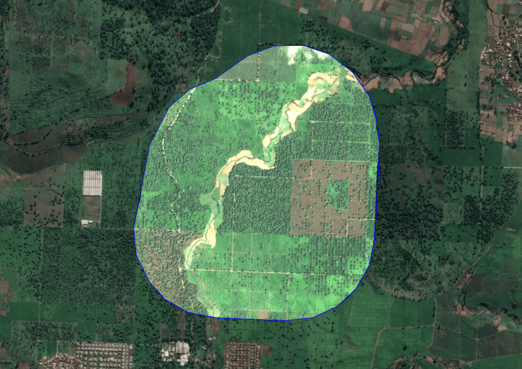
 High-Res Satellite
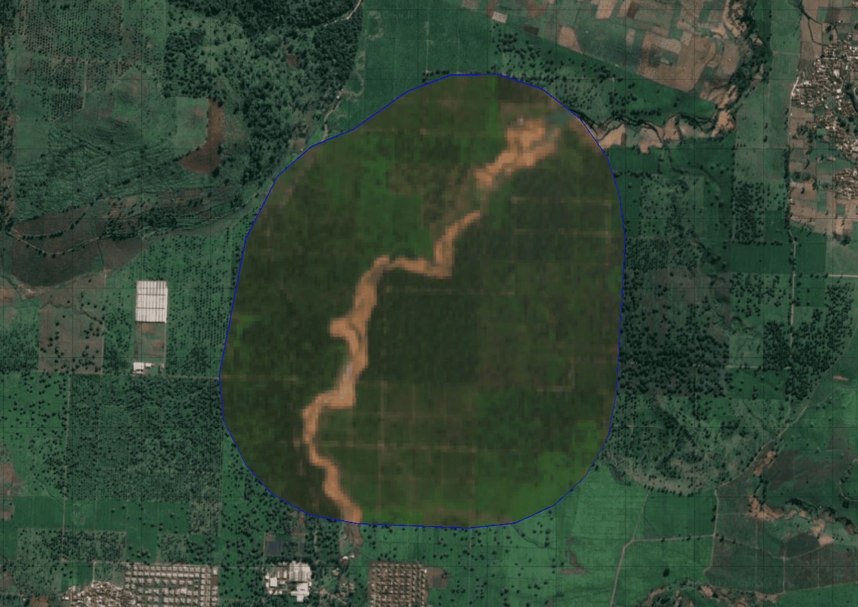
 Low-Res Satellite
We maximize your project's effectiveness using AI & Machine Learning.
Suitable for all project activities such as:
Carbon Project Development
Nature-based Solution Project
Corporate Social Responsibility and Sustainability
Afforestation Reforestation Revegetation Activities
FEATURES
The Good Way to Build The Next Nature-based Solution Project
Land Cover Classification
Automated landcover classification using satellite or drone imagery.
Point of Cloud.
3D area visualization for gaining insights into field conditions.
Vegetation Index
Obtain measurements for the health and growth of trees in your area.
Carbon Stock
Obtain an estimation of the carbon stock in your area.
Active Fire
Rapid identification of hotspots to prevent major fires.
Tree Counting
Detection of the quantity of healthy and unhealthy trees using drones & satellite high resolution.
Deforestation
Detection of land use change from forest to non-forest and vice versa.
Biodiversity
Capture flora and fauna conditions with images and sound to obtain a biodiversity index.
Precipitation
Monthly report of number of rainy days and rainfall conditions in the local area.
Water Management
Report on replenished water, water balance, and groundwater level monitoring.
IoT Sensors
Measurement tools for the activities, such as water level, soil and air condition & tree diameter.
And more+
Offline mobile app, project summary, team collaboration, alert notification, more+
CLIENT
Trusted More Than 100+ Company
CarbonAtlas has collaborated with leading companies across various industries, including Food & Beverage, Tech, Banking, Transportation, Telecommunication, and many more, to create a positive impact in their operations, ensuring their journey towards sustainable business growth and success.


